enerGIS, renewable resource planning at your fingertips.
Long time no see, my friends. We have been busy building stuff at Magnet and in this hot day, hiding from the scorching sun, I would like to tell you about a very special product that we have created in this hectic year; a year where we are all navigating each in our precarious way through the changes this post-pandemic (fingers cross!) world has brought to us.
enerGIS is how we called this business venture and it’s led by Matthew Barlow, a brilliant mind and better guy. enerGIS is a web application that assists decision makers (governments, green consultancies, energy producers,…) understand solar and wind resource potential across a territory. It analyses, among other things, parameters such as distance to infrastructure, load centre proximity, land use classification and more — such as topography, bathymetry and environmental restrictions.
According to researchers from World Resources Institutes land planning will play a pivotal role for the successful deployment of any renewable energy project. We have several country datasets already available and we are adding new ones in the coming days, with the mission to map the whole world, contributing to a greener and more sustainable future.
The International Energy Agency (IAE) has designed a pathway to reach the goal of net-zero CO2 emissions in the energy sector by 2050. As part of this challenge, by 2030, the solar and wind energy capacity added to the system will have to be three times the capacity installed in 2020. This is certainly challenging, but it’s worth noting that many developing countries are still in the infancy stage of leveraging their renewable energy potential.
And here is where enerGIS comes to play: a simple web application that can be suitable for decision makers who want to analyse the potential of a country or territory, an online tool that takes the information out of the technical back rooms and brings it out in a simple, clear way.
I would not go into the technicalities of the project, colleagues will comment on these in later posts (of course it has been built in Clojure(script)!), or explain the features that the tool brings (you can find out more in here), I just wanted to announce that the product is available in a SaaS model (in private beta right now) as well as client-side deployment for Enterprise versions, and we plan to make it available to the public during this summer.
A picture is worth more than a thousand words, so here you have a sneak peek of enerGIS:
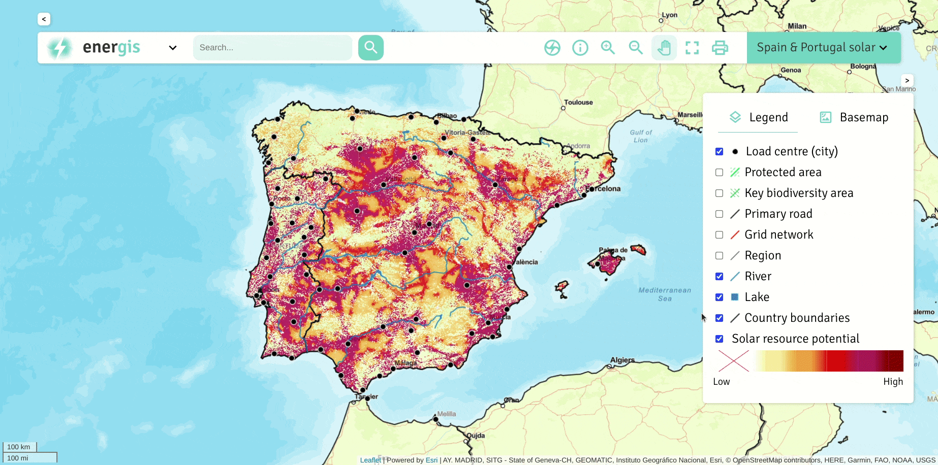 enerGIS in action
enerGIS, renewable resource planning at your fingertips. was originally published in magnet.coop on Medium, where people are continuing the conversation by highlighting and responding to this story.